Description
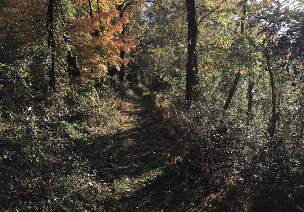
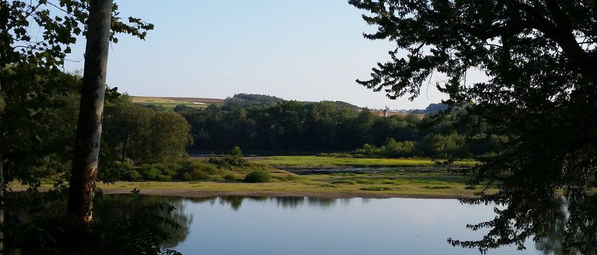
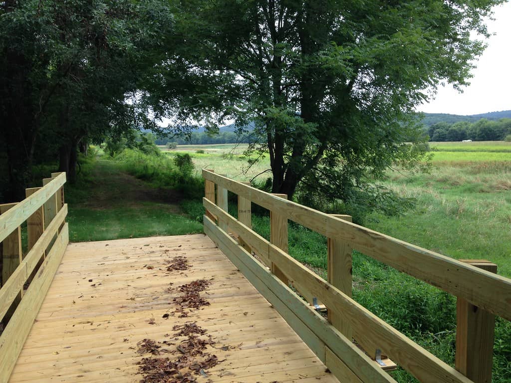
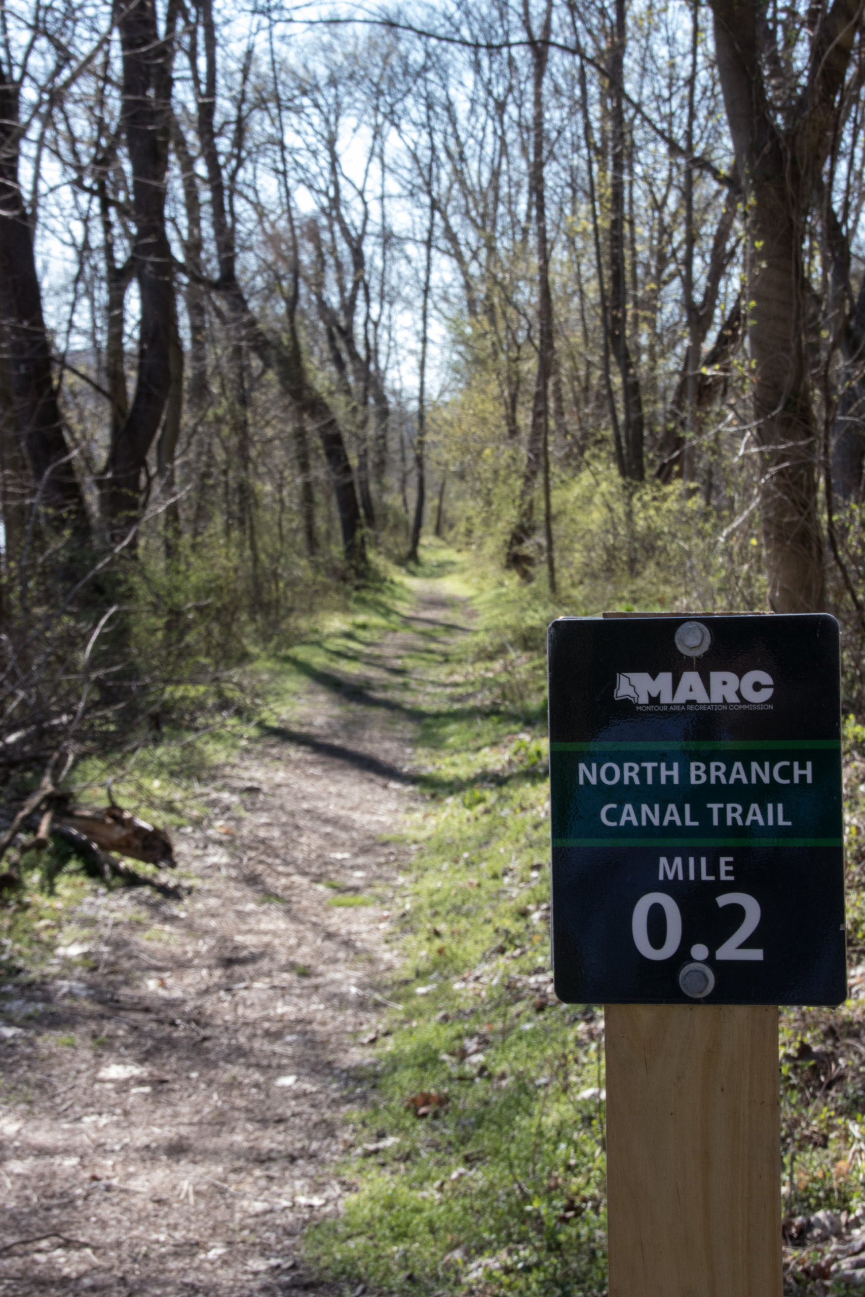
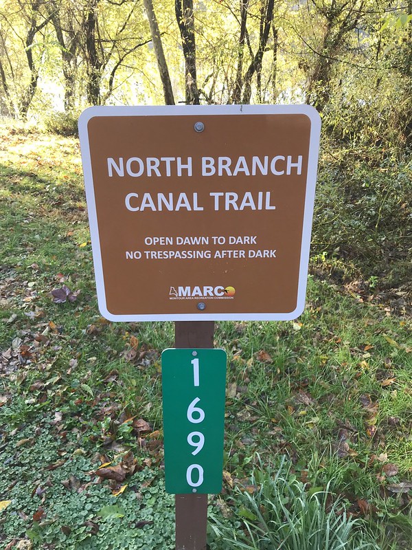
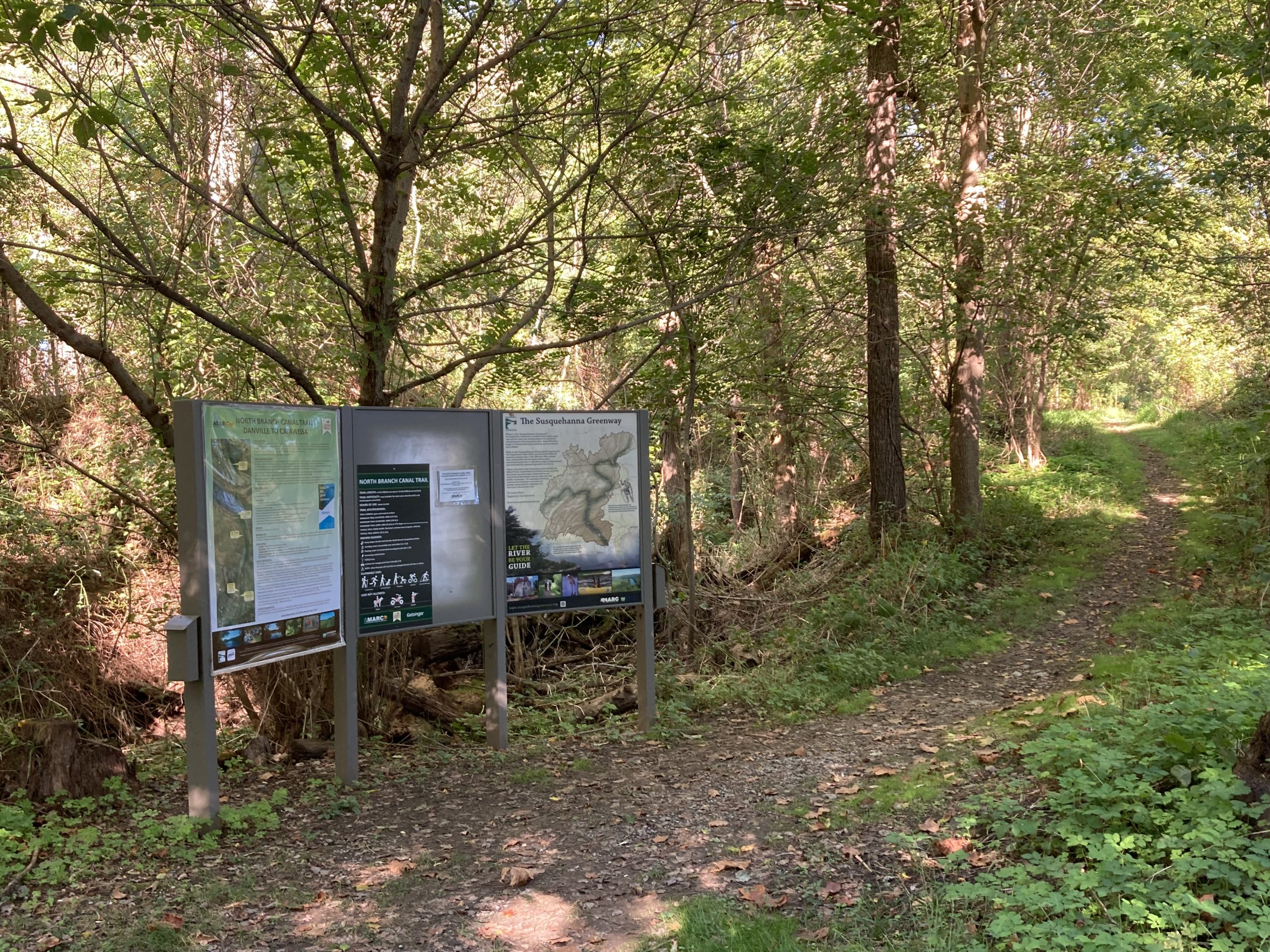
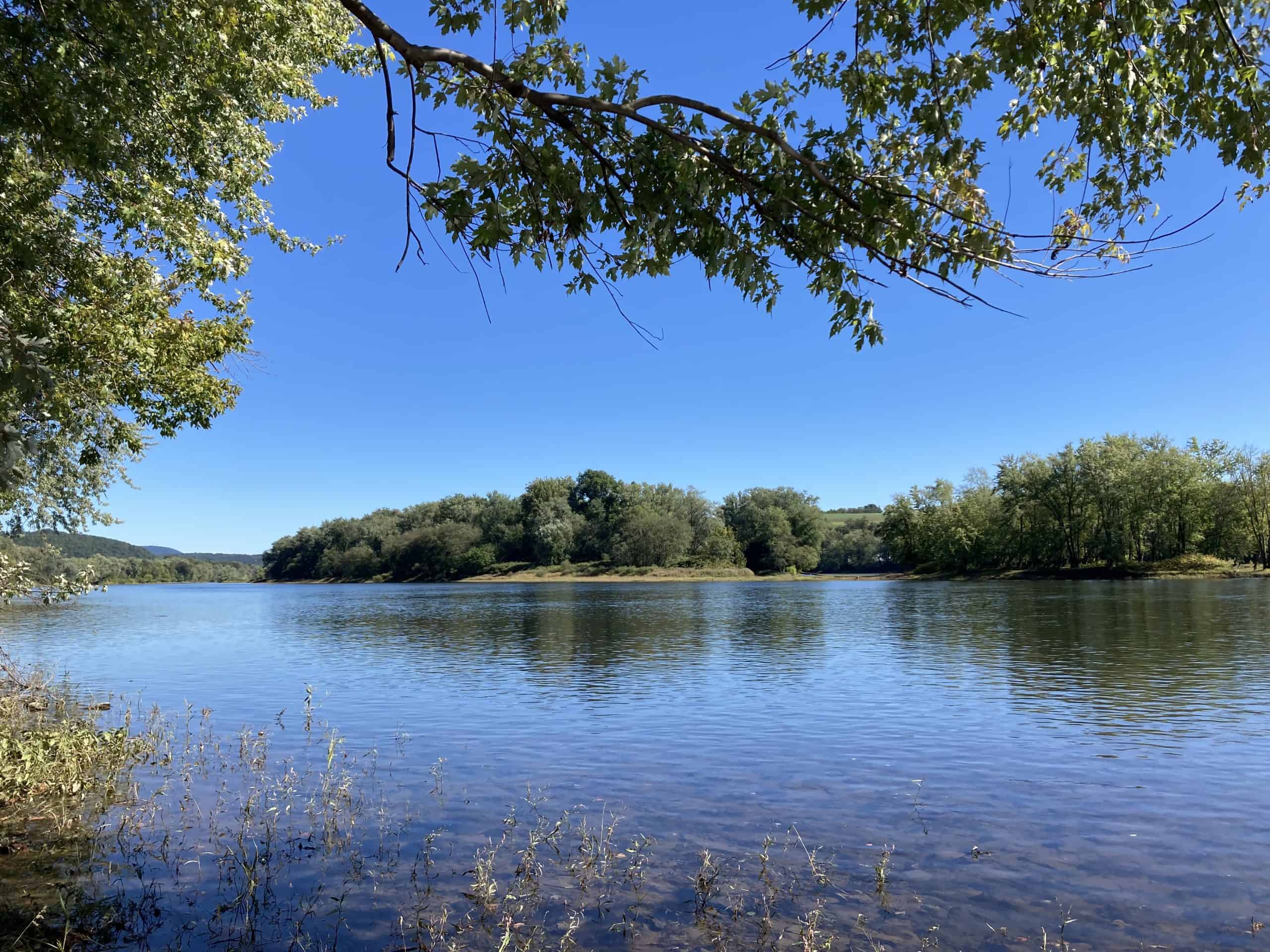
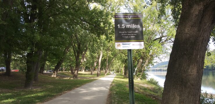
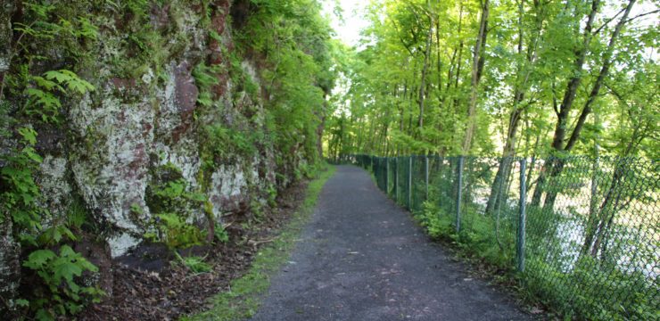
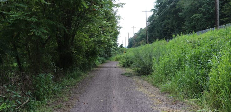
This trail, which will extend from Danville to Catawissa, travels along the old North Branch Canal route. Today, trail visitors can see remnants of the old canal as well as natural wildlife, plants, and the beautiful Susquehanna River. The trail has been constructed as a semi-natural pathway for pedestrians and off-road bicyclists. Currently, 3.5 miles of trail from the Danville trailhead are open to the public.
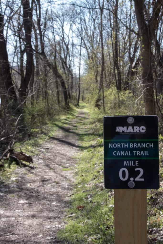
The North Branch Canal functioned as an important shipping and transport route from 1831 until 1901. During this time the canal served as a cultural landmark, linking river towns, carrying news and food, and providing a place for recreation and socializing. Since then, the physical remnants of the canal have slowly disappeared from the landscape. The trail celebrates the history and cultural heritage of the canal and is intended to connect people to nature, the Susquehanna River, and to the history of the canal era.
Note: The trail has been constructed in a way that preserves the natural wildlife which means parts of the trail may become narrow or be affected by storm damage and debris. Additionally, at the 2.7-mile marker there is a stream crossing which may become flooded and impassable after heavy rainfall. Mountain bikes are highly suggested if biking the trail.
Parking and Trail Access
The trailhead can be accessed from Danville. Heading east out of town, E. Market Street turns into River Road. About 2 miles down the road, you will see a gravel pull off on the right just before the railroad tracks. This is the parking for the trailhead. You can also park at the nearby boat launch on River Road and walk to the trailhead from there.
Sources
Photos and information courtesy: montourrec.com
Map

North Branch Canal Trail map.


