


At A Glance
“Chipmunks or squirrels are easy to find and the deer are fascinating at dusk. Near the pond, one could witness the painted turtles, wild birds, and listen to the frogs. Truly a nice nature walk for the physically diminished and homes are within shouting distance for assistance. Recent enhancements have allowed for me to push my wife in her big tire wheelchair…the Towpath is a blessing for the handicapped and their escorts with the right equipment; even bicycle riders will be amazed by the tranquility. Happy Trails to you and yours.” – Richard Zngis
Description
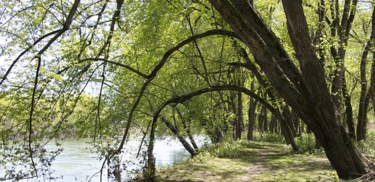
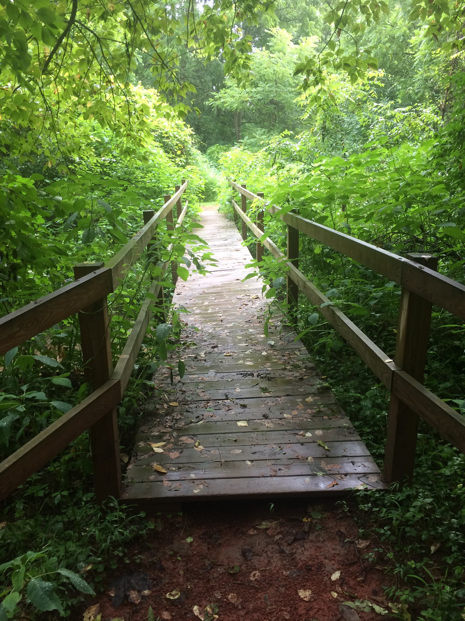
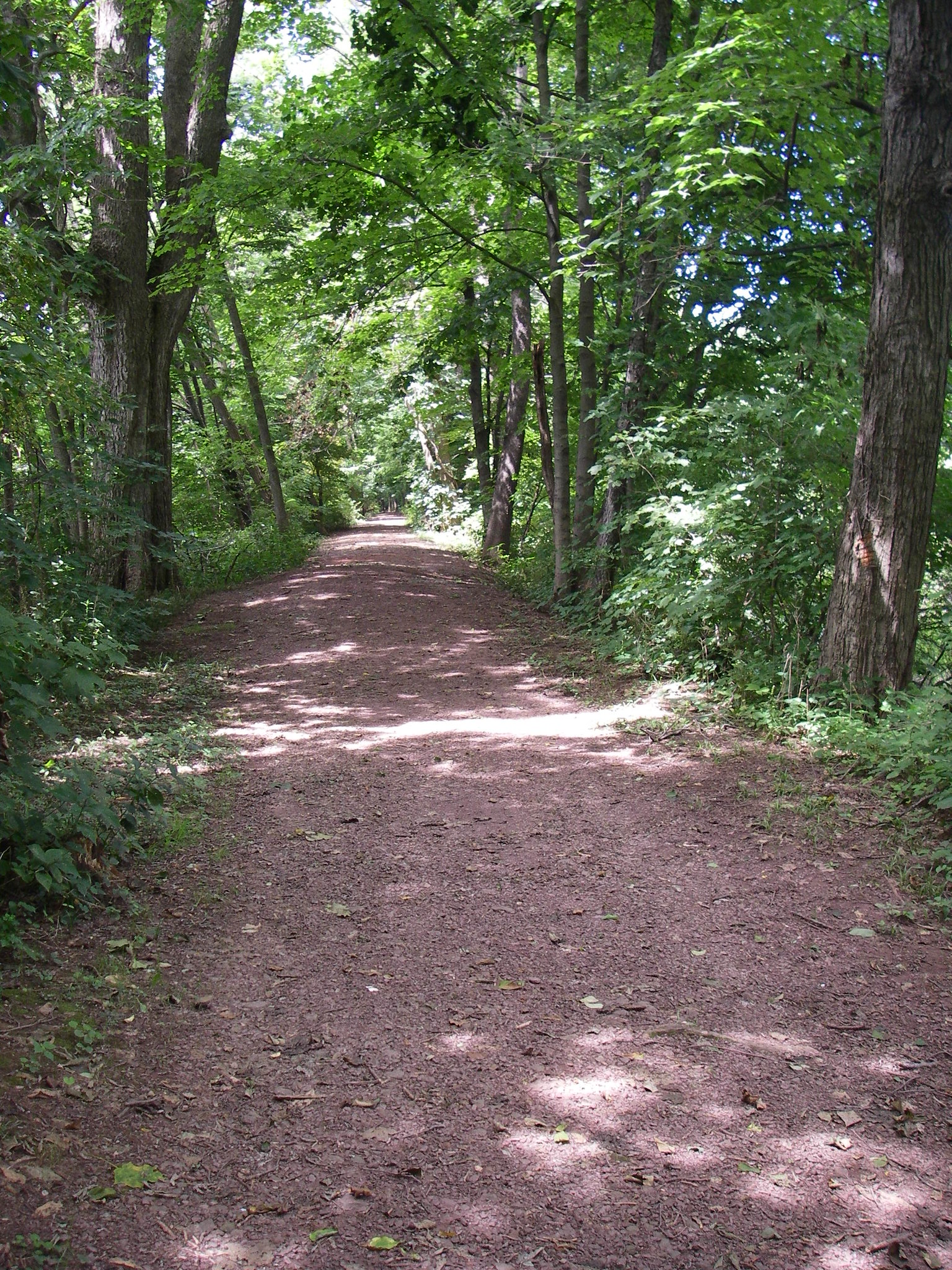
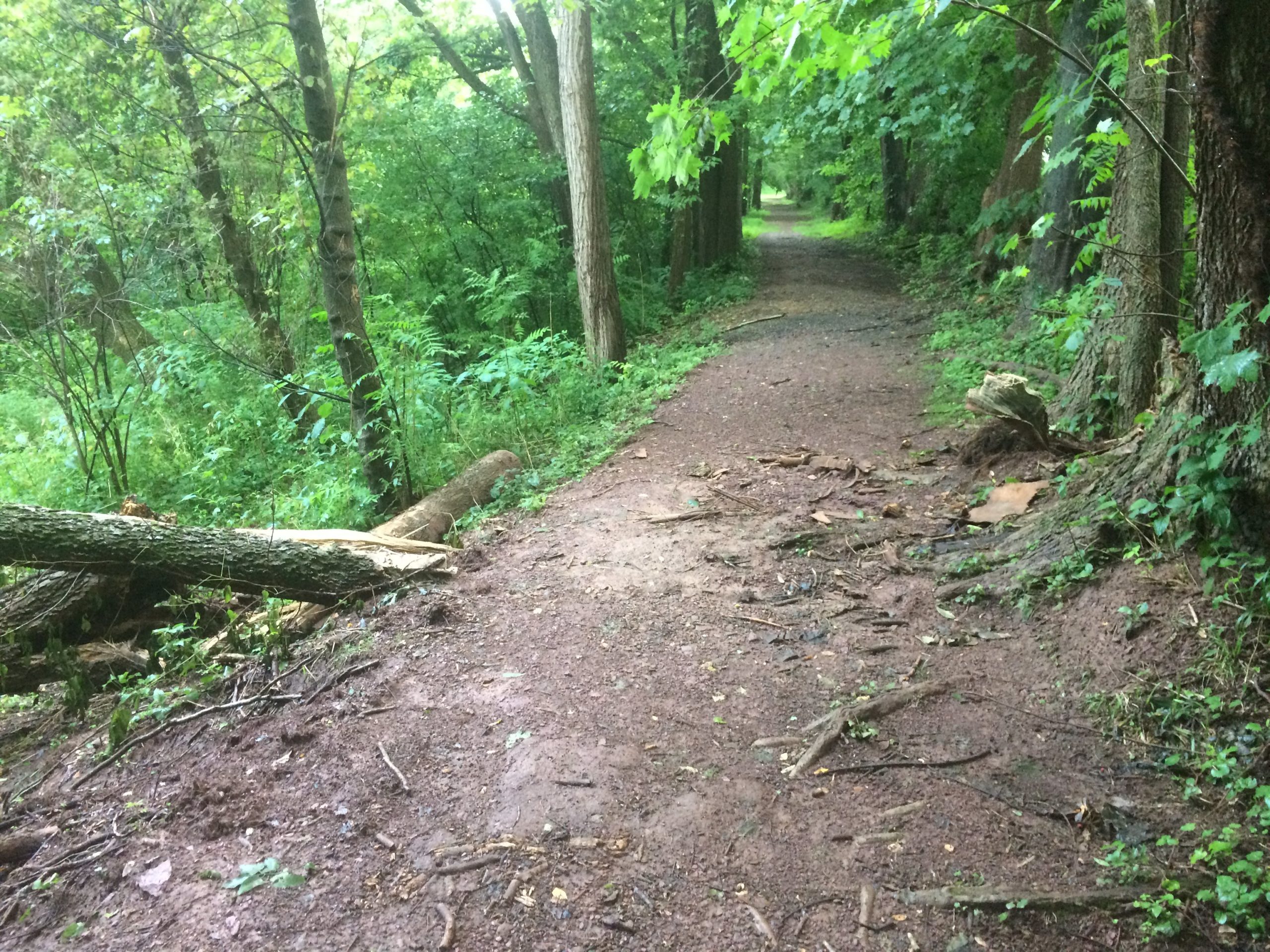
The Watsontown Canal Towpath is a 1-mile hiking trail that parallels the West Branch of the Susquehanna River. With some recent extensions, the trail now runs from the southern end of Elm Street to the West Milton State Bank parking area. Users who plan on biking the trail should be prepared with a mountain bike, due to the uneven surface and tree roots. The trail also serves as a history lesson on the railroad and canal system that used to run through town. The walking path was originally used by horses which pulled canal boats along the canal.
Parking and Trail Access
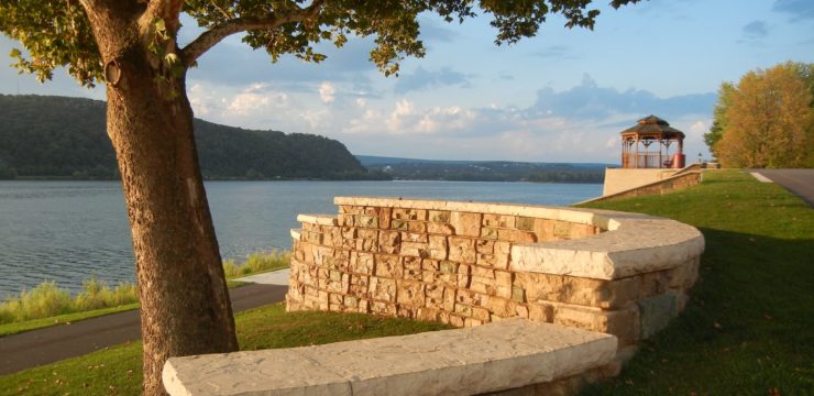
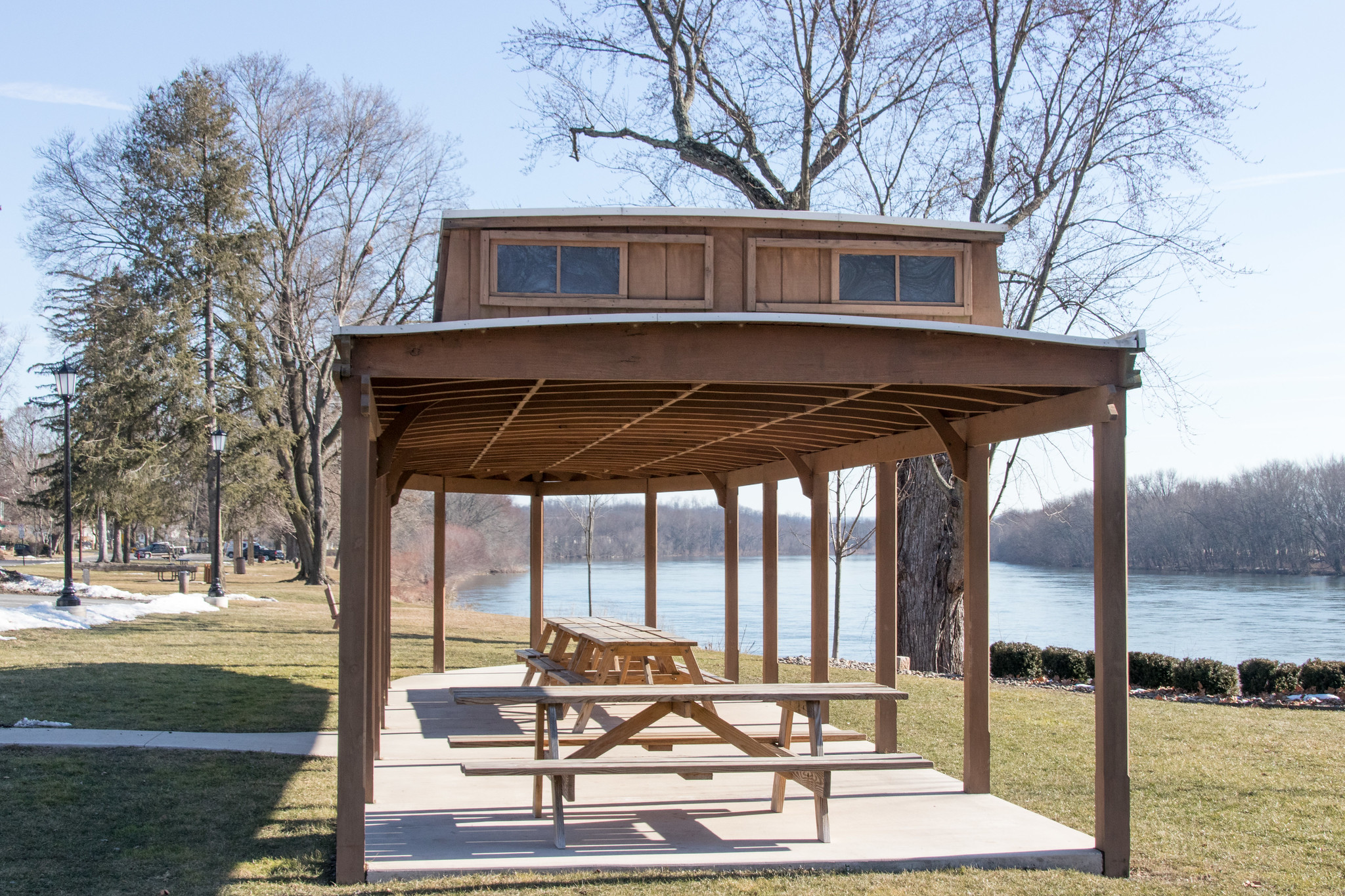
Public parking is available at the riverfront park next to Canal Street in Watsontown, on the east side of the river bridge. The park has a boat-shaped pavilion, as well as a primitive boat launch. Informational panels about the trail can be located next to the pavilion. The trailhead can be accessed by walking the path from the park down and under the West Brimmer Ave Bridge. Additional trailheads are located on West 5th Street and West 10th Street.

Maps
Explore more with our Interactive Map