Description
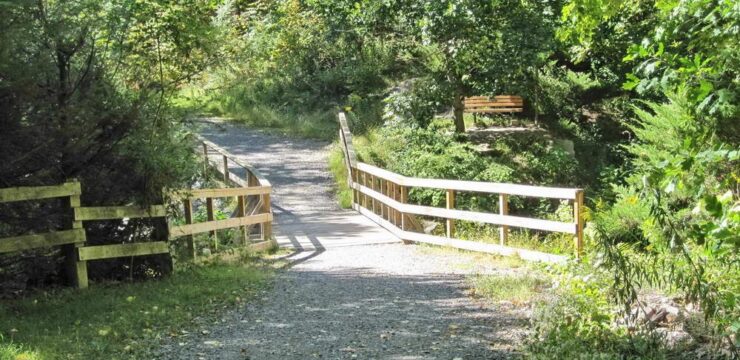
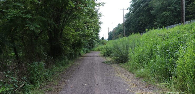
The Luzerne County Rail Trail, (alternately known as the Luzerne County National Recreation Trail) is a combination crushed stone and paved trail that runs from Port Griffith to Pittston, PA.
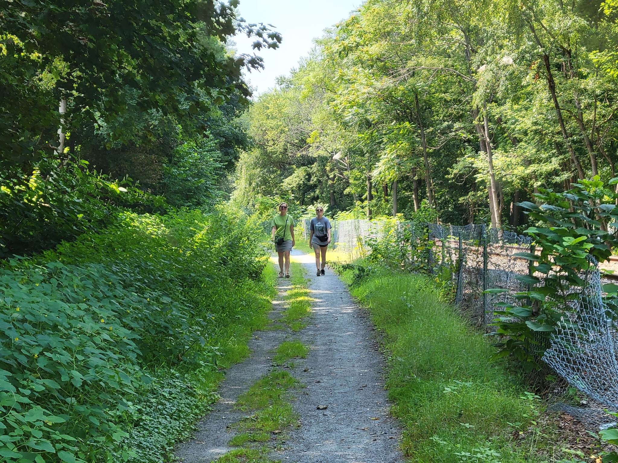
The 1.9 mile corridor follows a active railroad line, and embraces the casual, trail grade with little elevation gain or loss. Along the way experience views of the Susquehanna River, rock cliffs, and have access to historic sites. Mile markers are located along your right every 0.1 mile. Be sure to keep a look out for an opening in the fence at mile marker 0.4. This is the access point to view a memorial marking the Knox Mine Disaster. A short distance down the trail at mile marker 0.5 there is a marker noting where 33 miners escaped the disaster using the Eagle Air Shaft.
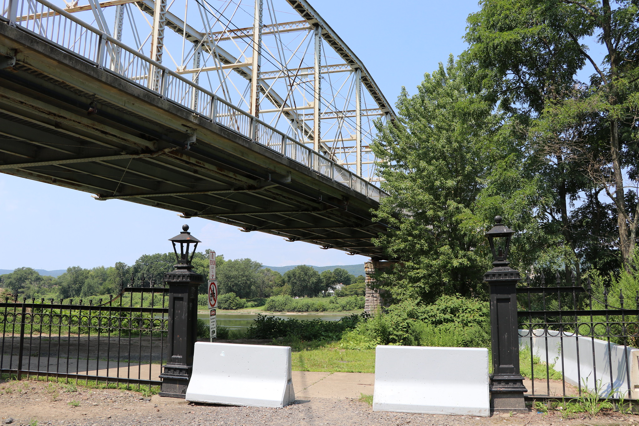
Benches, sculptures, and view of the river are more available along the Riverwalk once you enter Pittston. Pass underneath the Water Street bridge and the cement trail ends. Steps lead up to Kennedy Blvd and a small firefighter memorial. The hard packed trail continues left down along the river or straight along a dirt road. The trail ends just below the Fort Jenkins Bridge after 1.8 miles.

Parking and Trail Access
To Start from Pittston: From I-81 south take exit 178B to Route 315 southwest. Take your first right onto Main Street, then a left on Pittston Ave (Route 11). Follow Route 11 into Pittston. Cross Main Street and turn left onto Kennedy Blvd. You can access the trail from Kennedy Blvd. just north of Water Street. Metered parking is available across from Pittston Trail Head on Cron Street. Look for the Riverfront Park brick sign.
To Start from Port Griffith: Follow Main Street South (right) from Kennedy Street. Pass Pierson Lane and look for a right hand turn onto a gravel access road; it is immediately beyond a private residence. It looks like a private drive (with no trespassing signs all around) but it’s not. This will bring you to the parking area for the trailhead.


