Description:
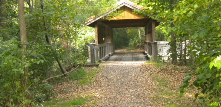
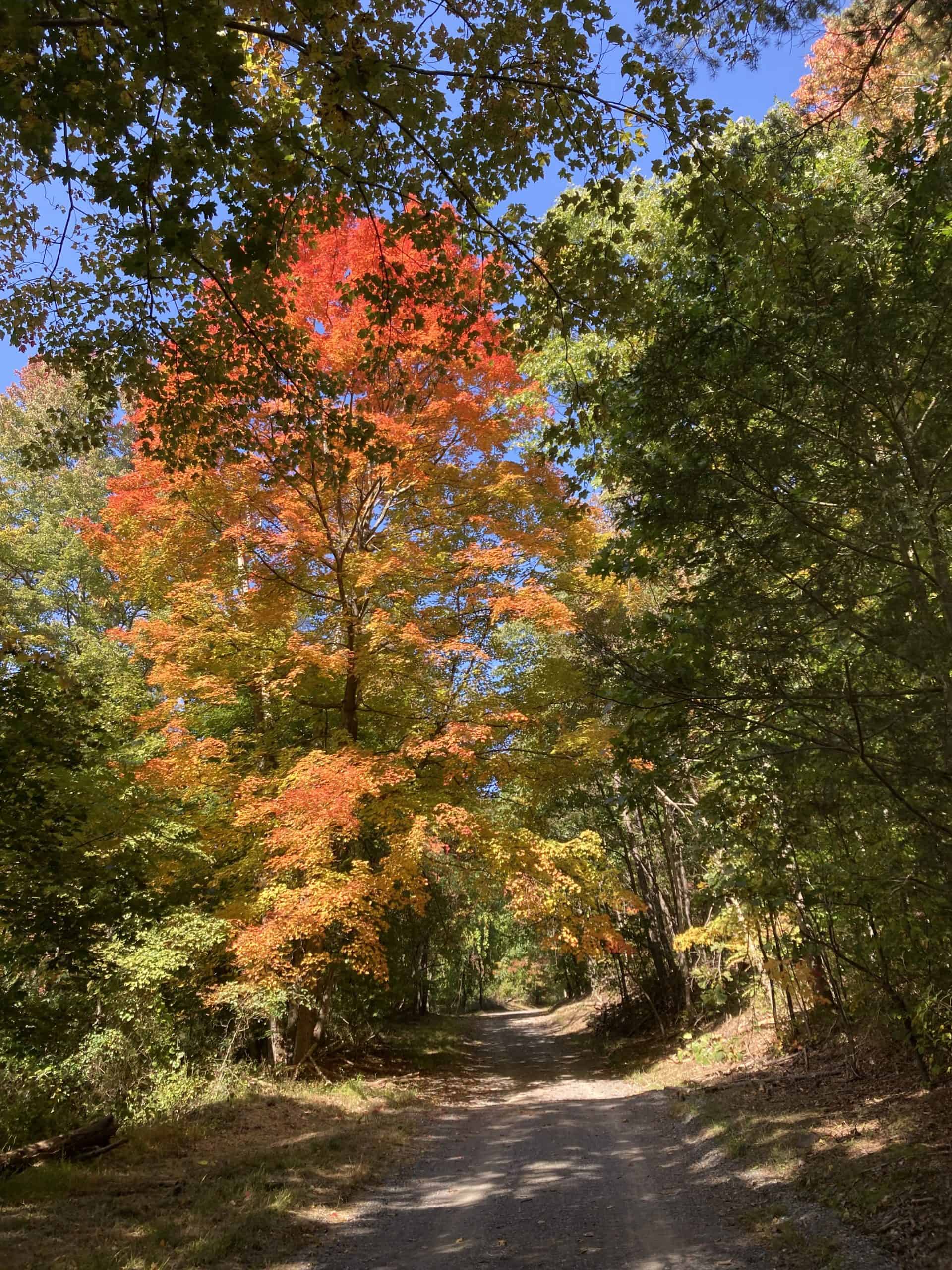
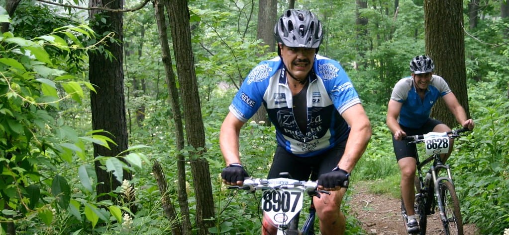
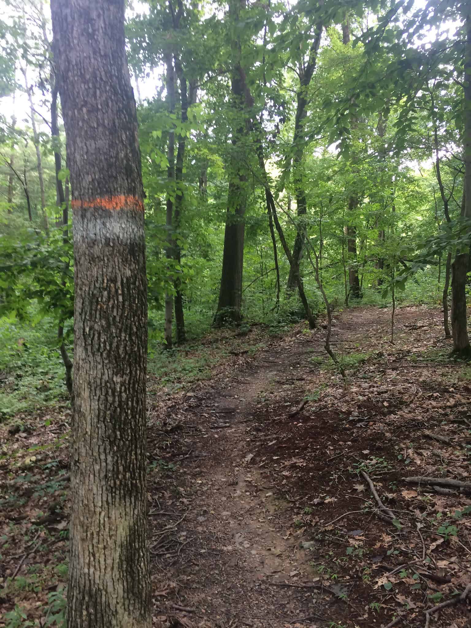
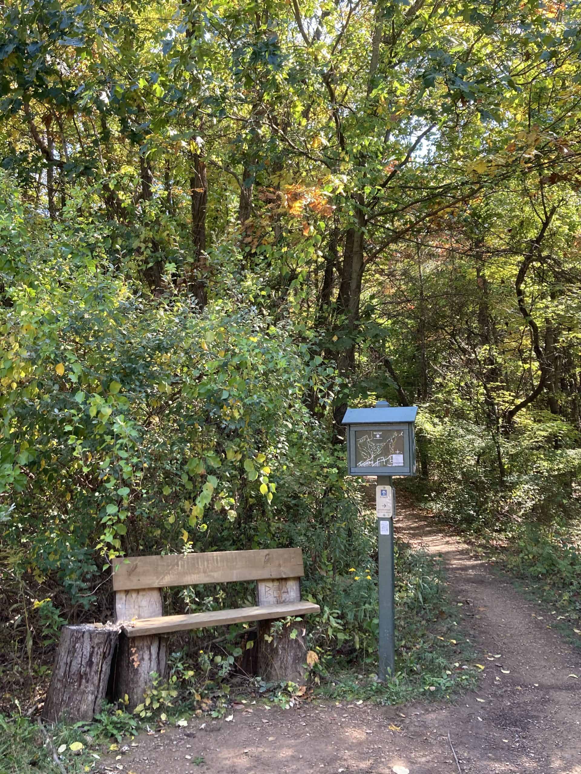
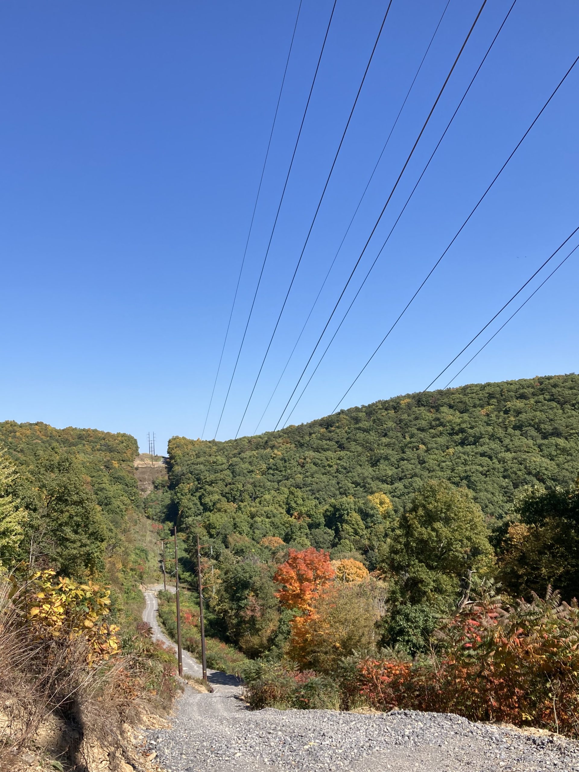
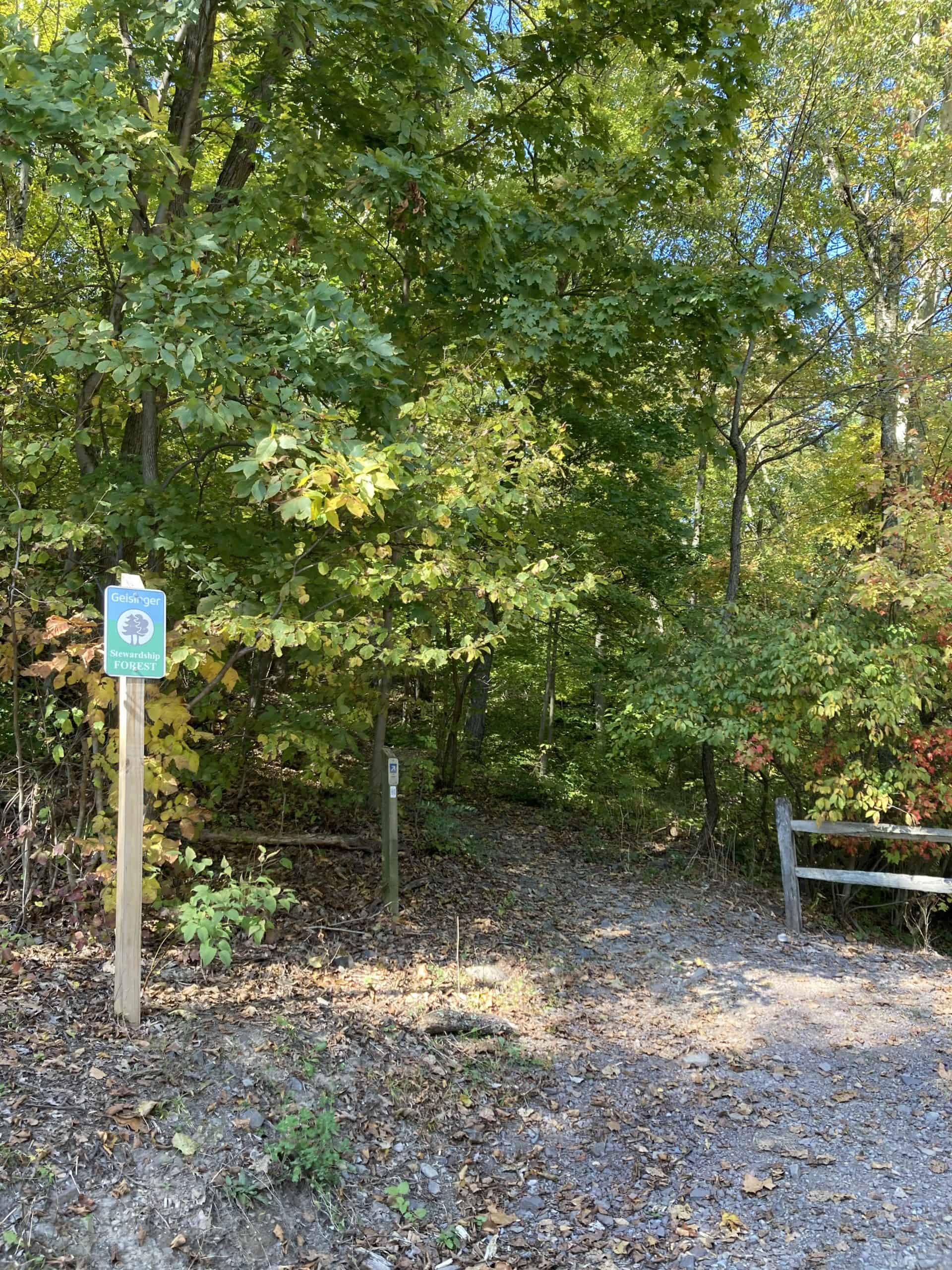
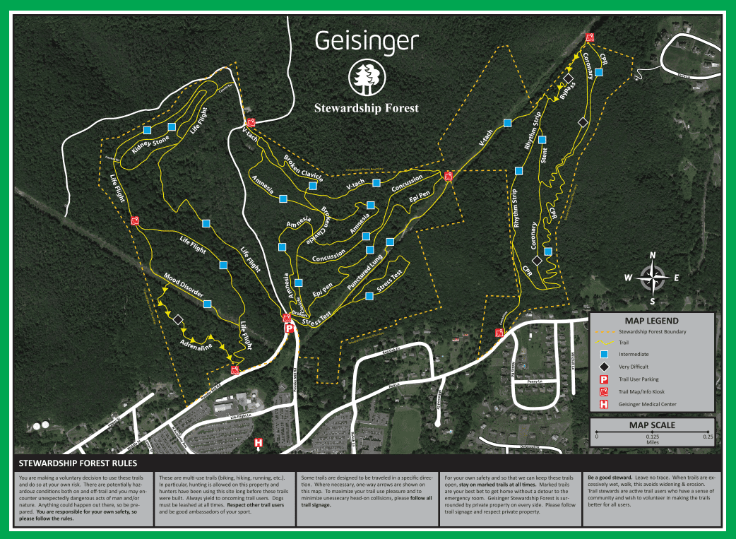
Geisinger Stewardship Forest: This popular mountain biking area is a 300-acre hilly, wooded forest located behind the Geisinger Medical Center in Danville and is a portion of the Pennsylvania Stewardship Forest. The forest offers 8 miles of trails that range in difficulty from leisurely, flat hiking to more difficult, steep ascents. The area is known for its multi-use trails that are favored by mountain bikers. Mountain Bike Project and All Trails feature interactive maps of the forest and include ratings and reviews. At the parking area, visitors will be greeted by an information kiosk that displays a color-coded trail map with information including distance, elevation, and location. Visitors should only use trails with medical terminology names as others are privately owned.
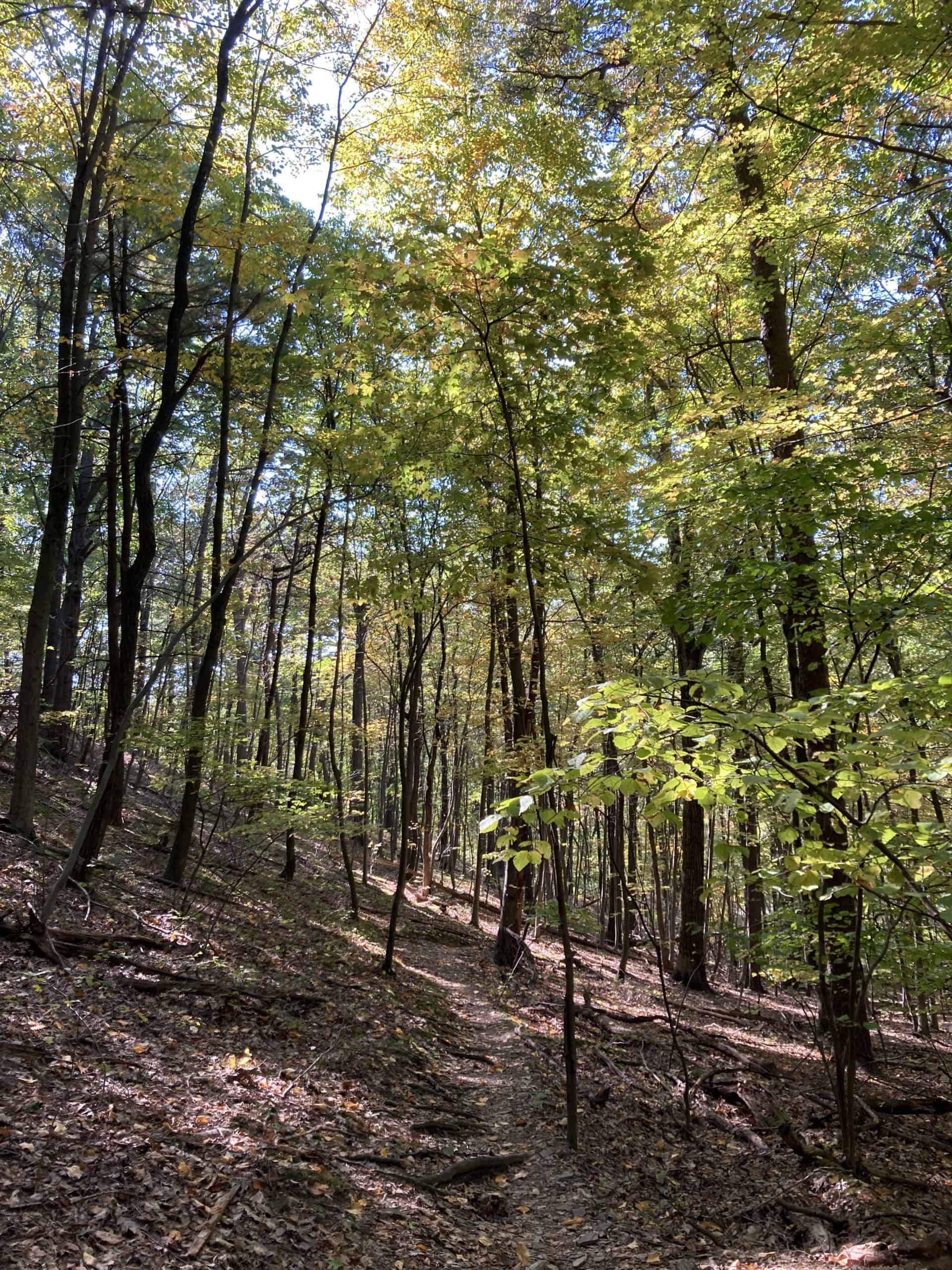
The trails are well-maintained by local trail enthusiasts and many of them feature gravel surfaces. The forest is ideal for those interested in a nature experience and includes variety of bird species, such as woodpeckers and warblers, and ephemeral wildflowers, such as anemones, which are a special treat in early spring. Hunting is allowed during the permitted seasons and users should wear orange and yield to hunters during these times.
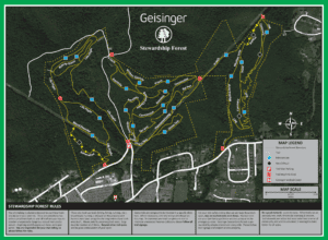
Geisinger Stewardship Forest Map courtesy of geisinger.org
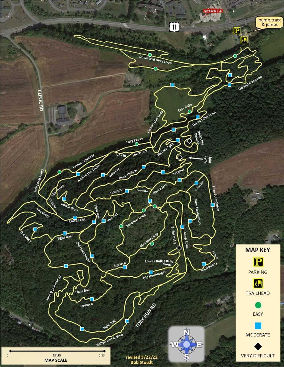
Hopewell Park: If you are seeking more adventure on a mountain biking course, Hopewell Park is located just a few miles away and features 11 miles of trails that are designated for mountain bikers. It is actually Montour County’s first purpose-built mountain bike trail network. For more information, visit the Montour Area Recreation Commission website.
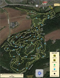
Hopewell Park Map courtesy of montourrec.com
Parking and Trail Access
Visitors to the trail may park in the Geisinger lot off of Powder Mill Road, for quicker access to the trail.
From Route-54 Southbound: As you approach downtown Danville, turn left at Ferry St. Continue on Ferry St for a ¼-mile and turn left onto Center St. Continue on Center St for ¼-mile and turn left onto Cherry St. Make the next right onto Spruce St and continue straight onto Red Ln. Continue pass the hospital and turn left onto Powder Mill Rd. Continue until you arrive at the U-shaped bend and turn left into the parking lot.
From US-11 North: Continue on US-11 North – Bloom St and continue straight at the stoplight to stay on Bloom St. Continue on Bloom St for a ¼-mile and turn left onto Cherry St. Continue for three blocks and turn right onto Spruce St. Continue straight onto Red Ln. Pass the hospital and turn left onto Powder Mill Rd. Continue until you arrive at the U-shaped bend and turn left into the parking lot.
From US-11 South: Turn right onto Ridge Dr a ¼-mile after passing the Fairfield car dealership. Continue on Ridge Dr for ¼-mile and turn left onto Bloom Rd. Continue on Bloom Rd for a ½-mile and turn right onto Kaseville Rd. Continue on Kaseville Rd for a ½-mile and turn left onto Red Ln. Continue on Red Ln for 1 mile then turn right onto Powder Mill Rd. Continue until you arrive at the U-shaped bend and turn left into the parking lot.
To access trailhead from Geisinger Medical Center (approximately ¾ mile to the trailhead): Walk up through the Geisinger Medical Center campus, bear right all the way and stay on North Academy Avenue’s sidewalks. Walk uphill, and around the medical center, pass the Knapper Clinic, and then bear right and walk uphill with Geisinger Office Buildings on your left. Continue uphill and pass Healthsouth on your right. When you come to the end of North Academy Avenue, take a left onto Red Lane. Walk carefully along this road for a short bit, then take a right onto Powder Mill Road. Walk approximately ¼-mile to the very sharp U turn on this road and you will come to a gated trail entry – this is the trailhead with a map kiosk that shows various trails you can hike.
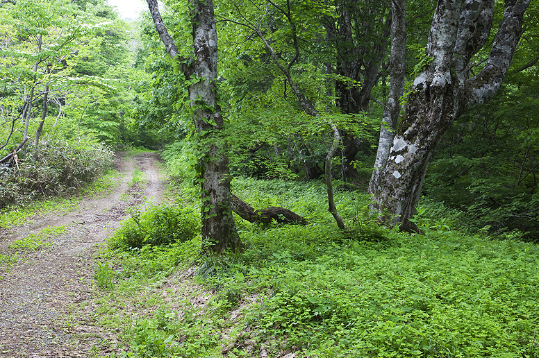
Photo courtesy of geisinger.org
Information courtesy of geisinger.org, mtbproject.com, alltrails.com