Description
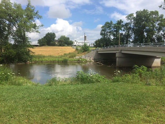
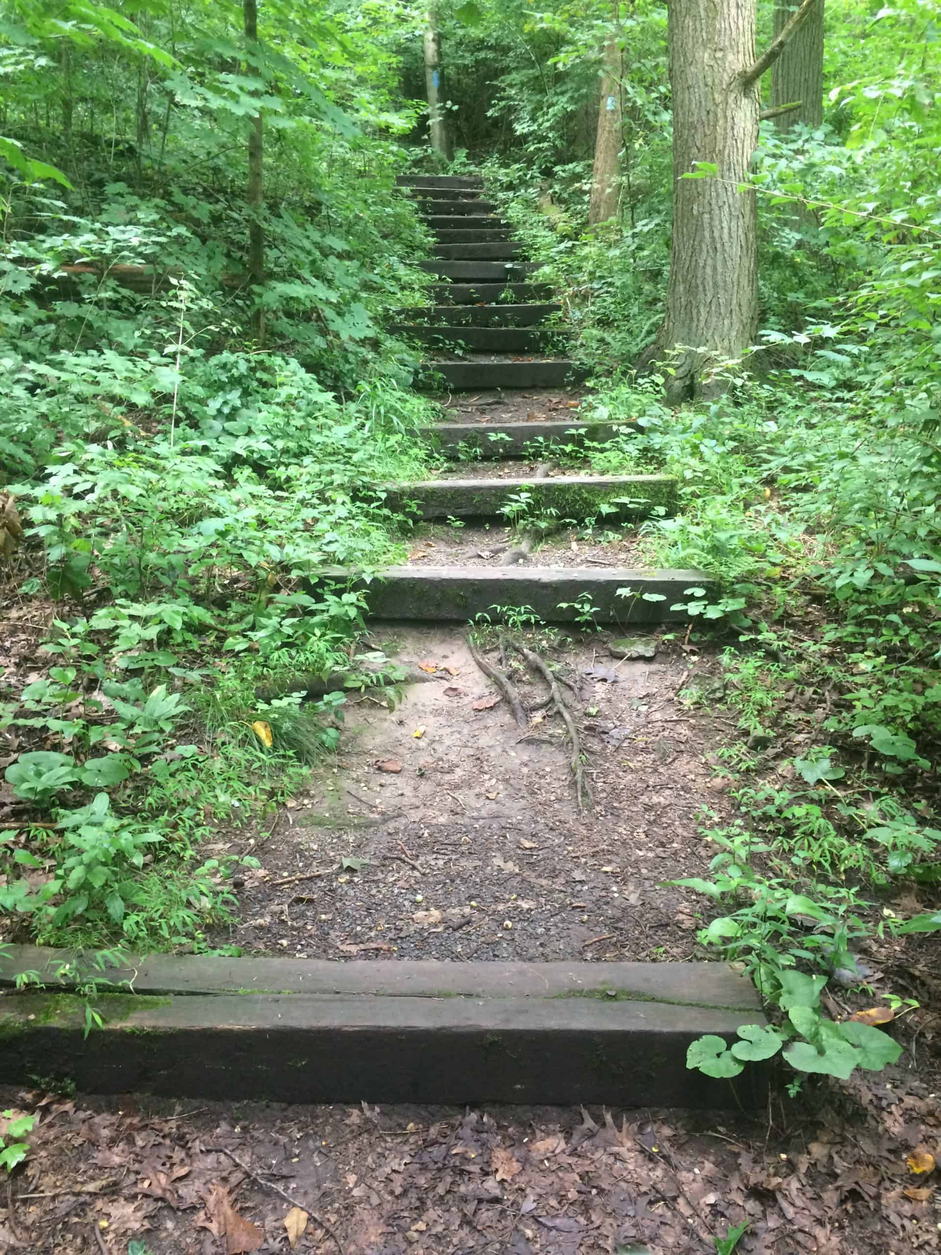
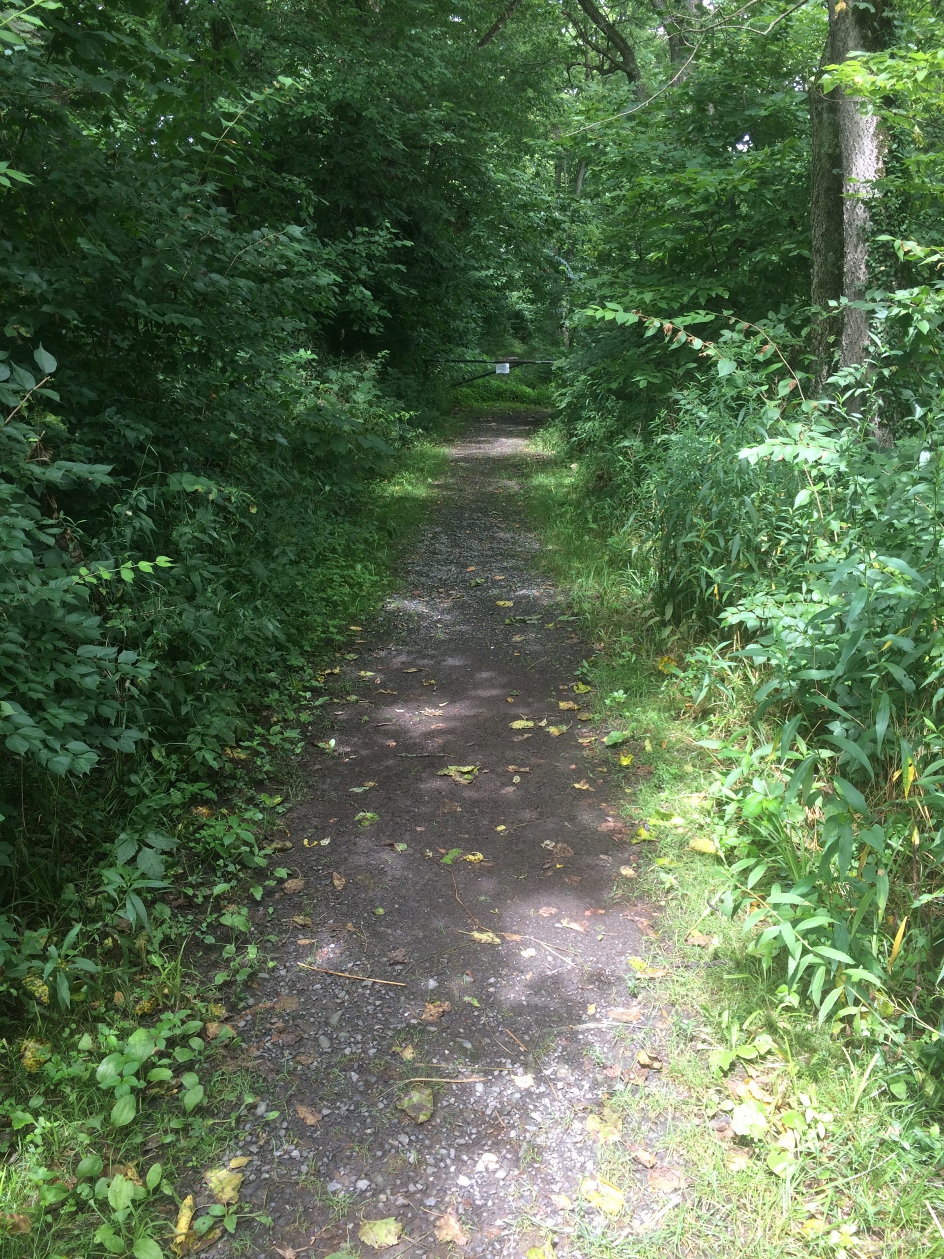
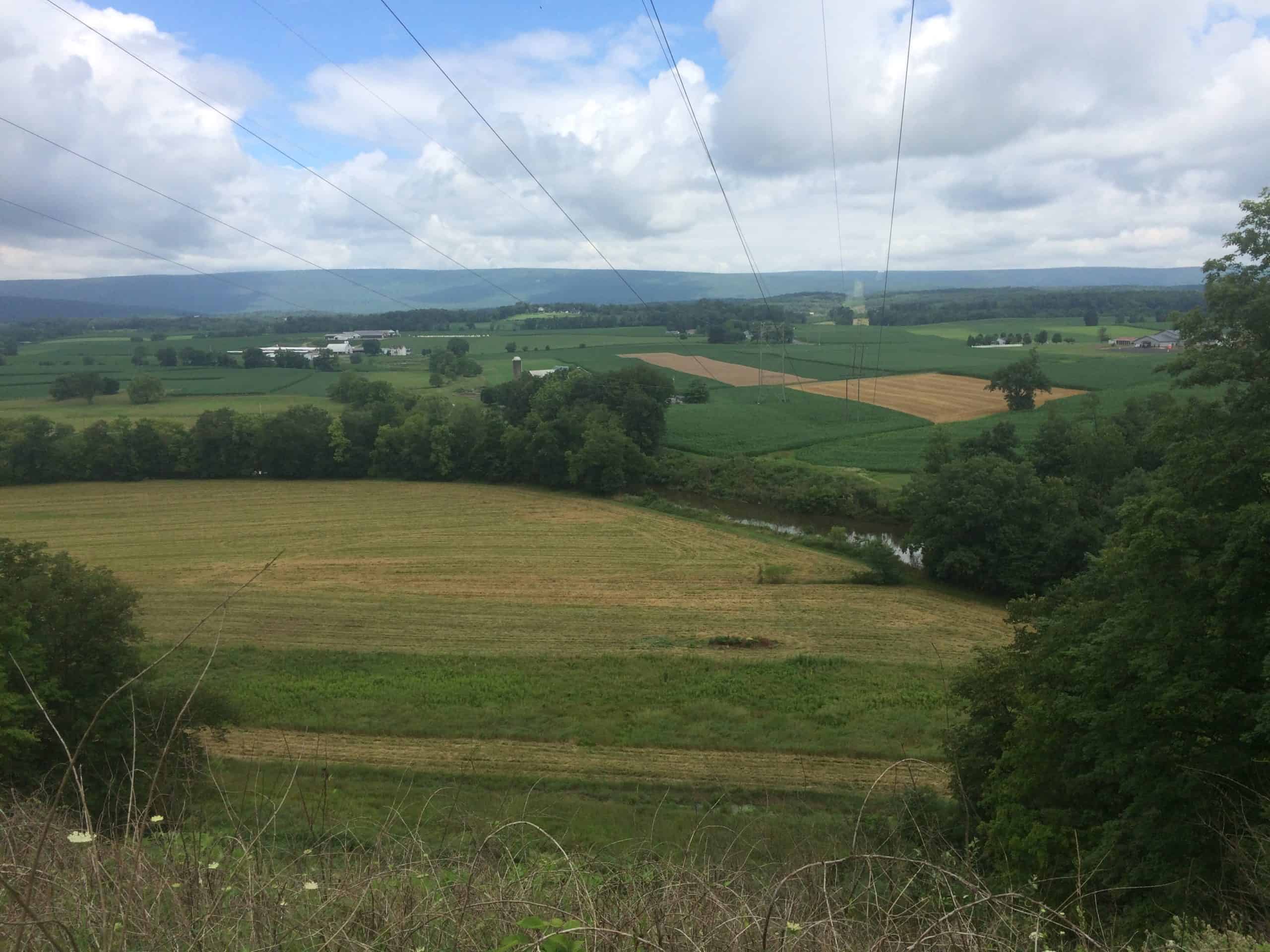
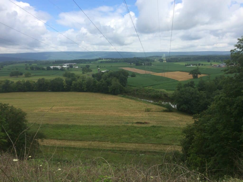
Located on the 137-acre Dale/Engle/Walker property, this 2-mile trail has become one of Merill W. Linn Conservancy‘s best known and most popular. Taking hikers 160 feet above Buffalo Creek, the trail offers a stunning view of the Buffalo Valley. A wide variety of landscapes are seen along the trail, including the Buffalo Creek floodplain, a mature hardwoods forest, a pond, and open fields. It is also a great place for bird watching, as well as observing the many different kinds of wildflowers. Be cautious of steep switchbacks and slick trail conditions at all times while hiking, as well as several drop-offs. The trail can also be very icy in certain spots during the colder season.
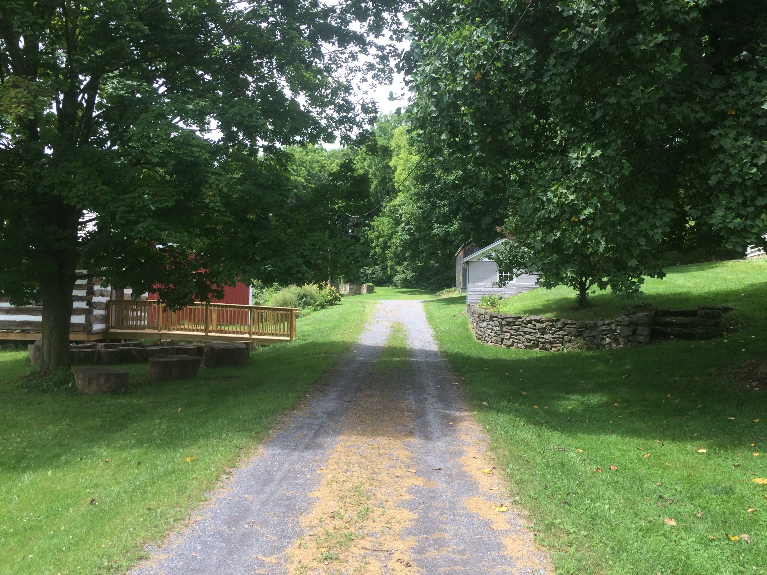
The trail begins at a nice, easy pace, but a steep incline about 10 minutes in will get the heart rate up. After going up some switchbacks, hikers are rewarded with stunning views of forests and meadows, with an overlook near the back of the trail. The looped trail will then take you back to the parking area and Dale/Engle/Walker house. An informational kiosk at the trailhead offers pamphlets with additional information about numbered signage along this trail, made possible by an easement with the Merill W. Linn Land and Waterways Conservancy.
Parking and Trail Access
The trailhead parking area can be located by turning onto St. Rt. 1002 (Col John Kelly Rd) if coming south on US 15, and then turning left onto Strawbridge Road. The parking area will be on your right after passing over the bridge. If coming north of US 15, take a left onto Buffalo Rd in Lewisburg, and then take a right onto Strawbridge Road. The parking area will be on your left, right before the bridge.
Map
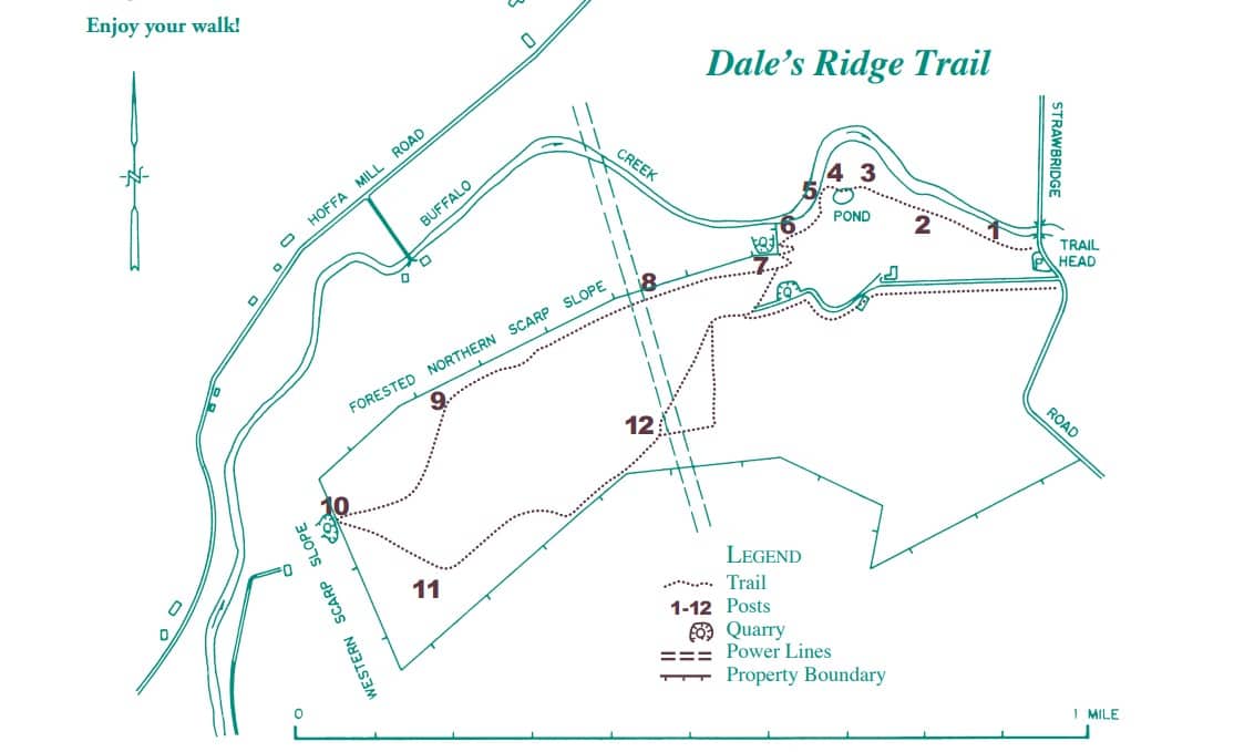
Map courtesy of Linn Conservancy


